Well I am home after a 5.5 hr drive. I go a little out-of-my-way to make it nearly an all interstate drive rather than the two lane county highways, twists, turns, and red lights through a number of small towns that the most direct route offers. It's worth an extra 20-30 minutes to me for a low-stress drive over a very familiar route.
Just to set up my walk this morning, let me back up and show the route on the GSP map for my walk yesterday (to the fishing pier). I put an X on the map for my site spot and used the yellow highlighter (tough to see in places) so show you where I went. Round trip to the end of the pier was 4 miles total.

Down the Canal Trail, along Campground Road, along Lake Crossing, over the Pedestrian Bridge (west) and to the end of the pier.
This morning I started in a similar direction and then turned off on a 4.5 mile walk. It was basically a loop around Middle Lake.

Down Canal Trail, along the Mouse Bypass, up Rosemary Dunes, up Cross Park Trail (commonly referred to as the Power line Trail), then the Campground Trail that backs up behind some of the camping loops back to Live Oak #16.
I'm not going to do a step-by-step commentary

but have a few pix to share. It helps to understand that these particular trails were built/designed/chosen to demonstrate different ecosystems in GSP and along the coast. So you'll have a marsh boardwalk section, a scrub hammock section, a sandy/dune section, a coastal forest section, etc. (I don't know all their names). So the landscape changes quite a bit which makes it interesting (wish I knew more).
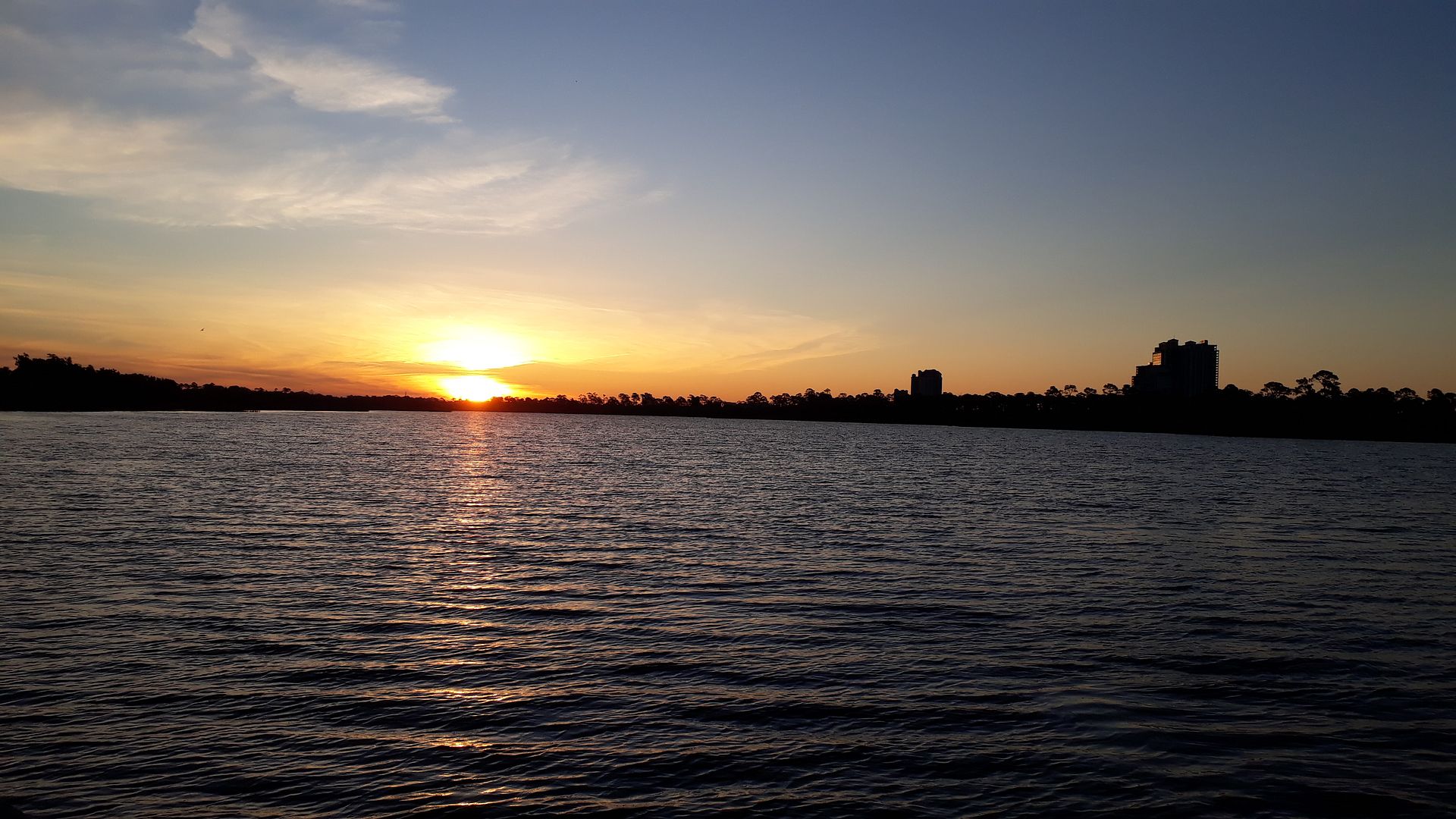
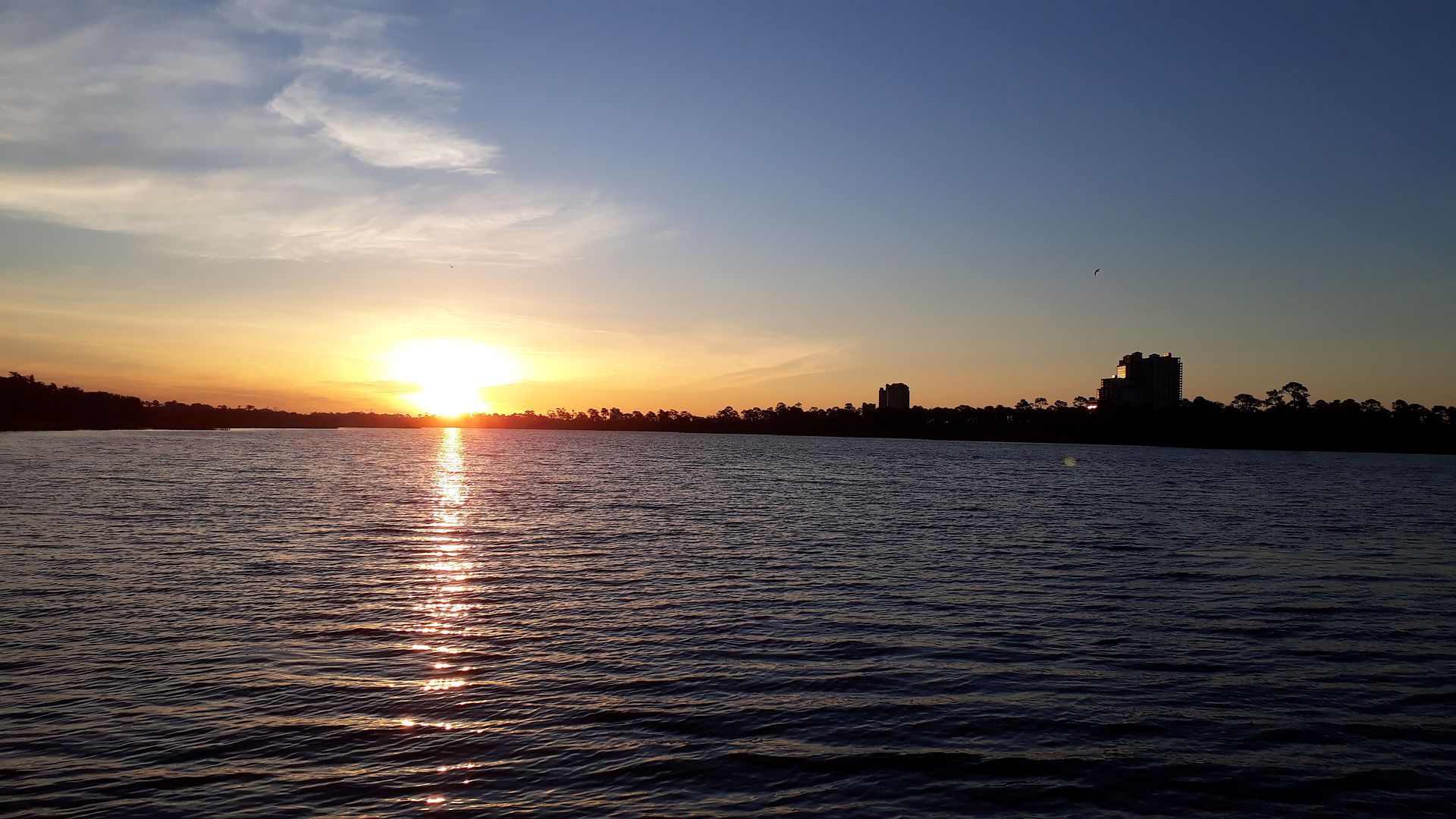
So I laced 'em up, put on my sun glasses, and set off at about 57 degrees. Oh such a blue sky and it was perfect conditions for a walk (warm in the sun, cool in the shade). Off I went.
Didn't see any alligators but I have in the past along this walk.
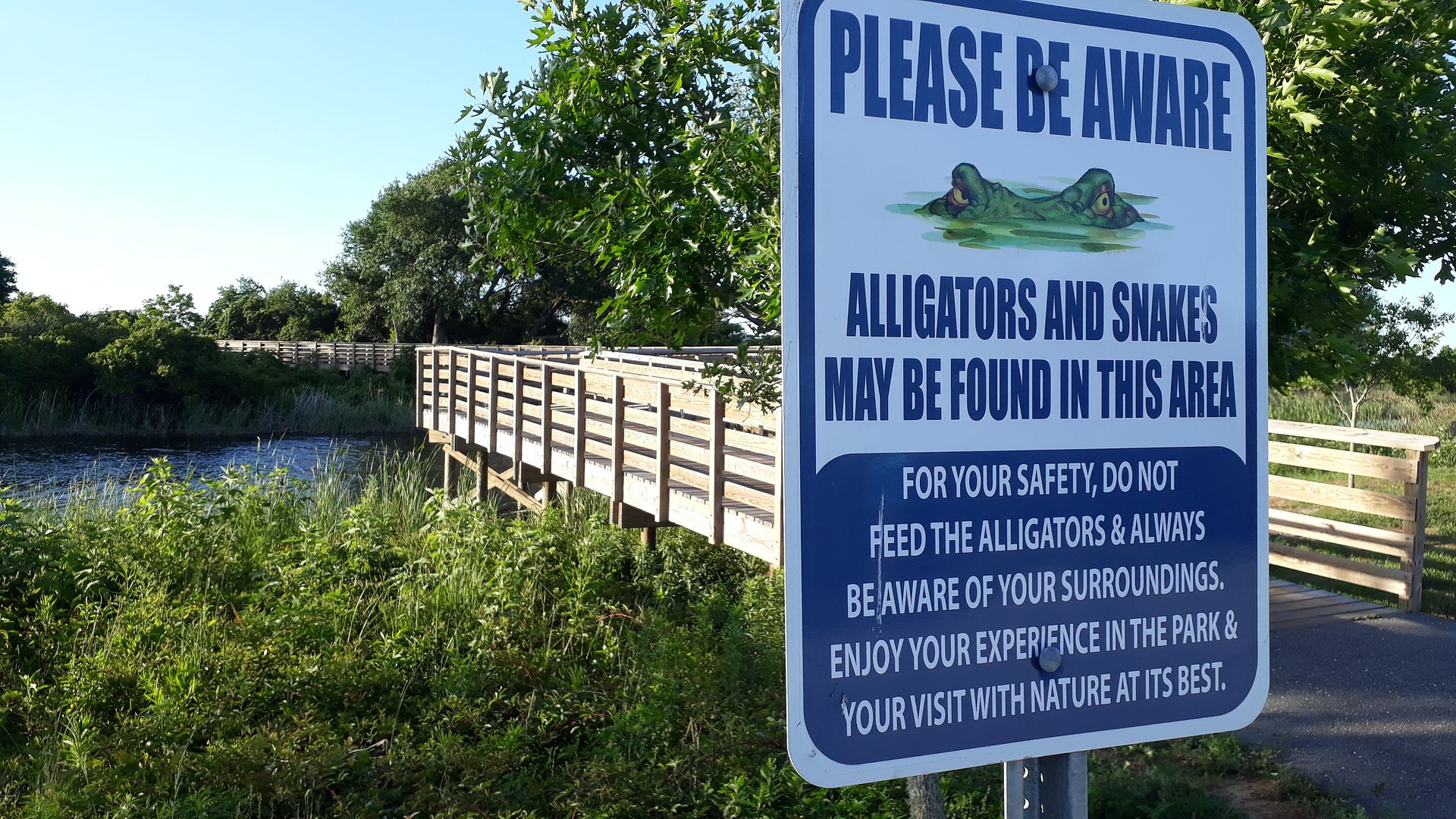
DD was very frightened as a child of riding her bike on the trails when she was young (fewer trails back then). She thought it be like riding her bike inside the pen at Gator Land. Now she's almost graduated college but the fear hasn't gone completely away. It's been replaced by a more mature suspicion.
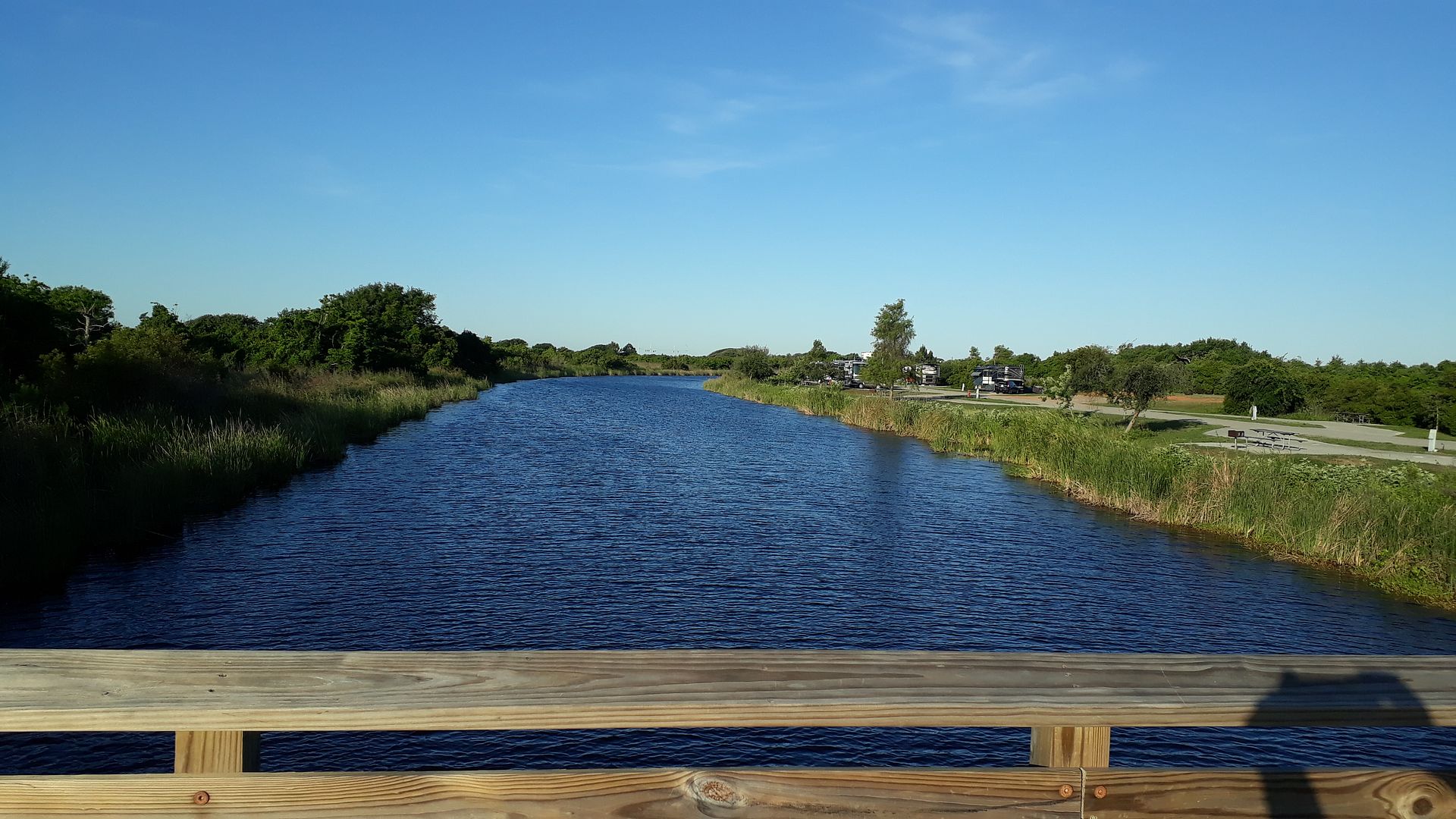
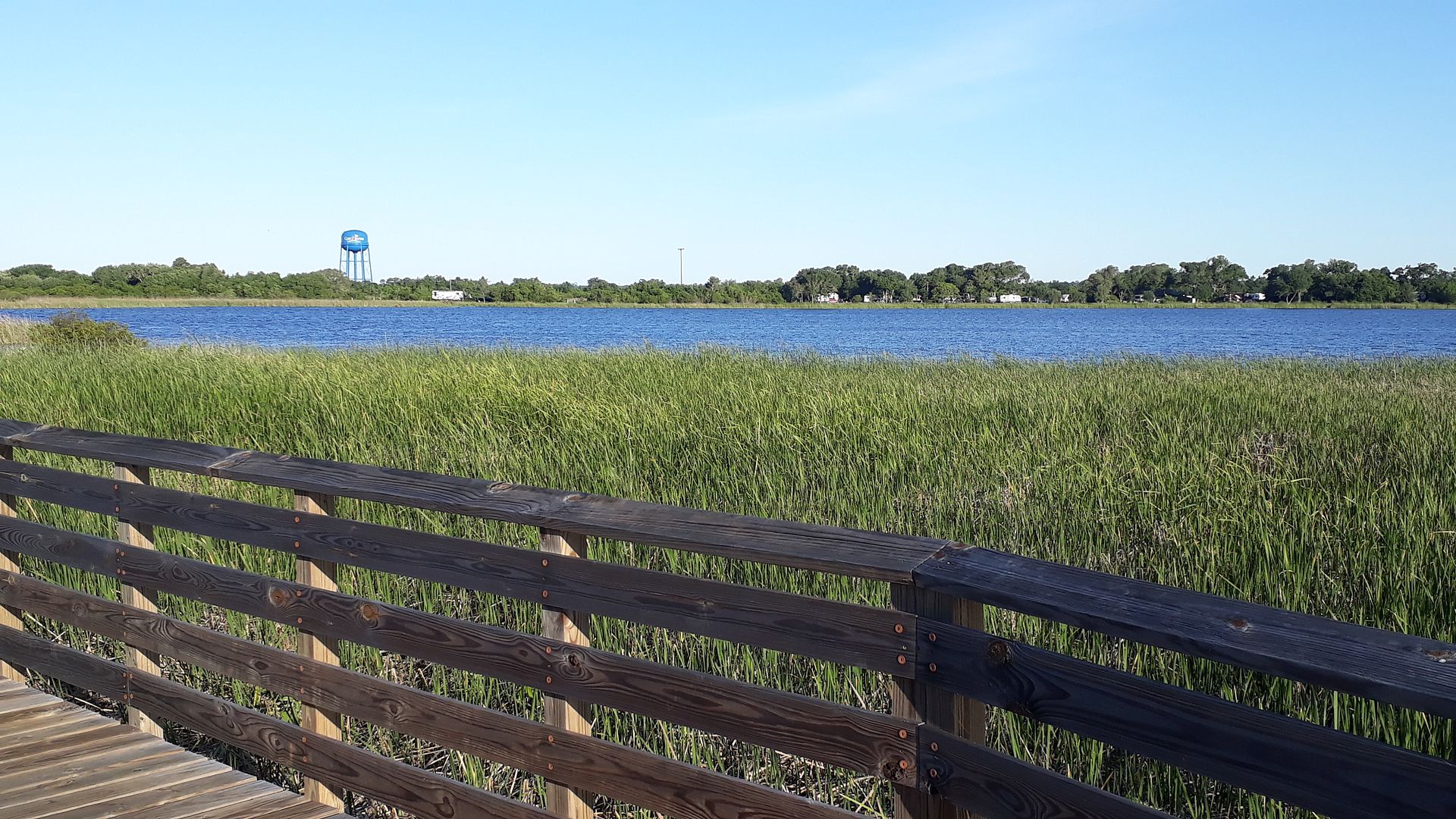
We start over the Canal where some pull-through sites were put in maybe 10 years ago (only pull-throughs in the place). The blue sky and blue water were stunning.
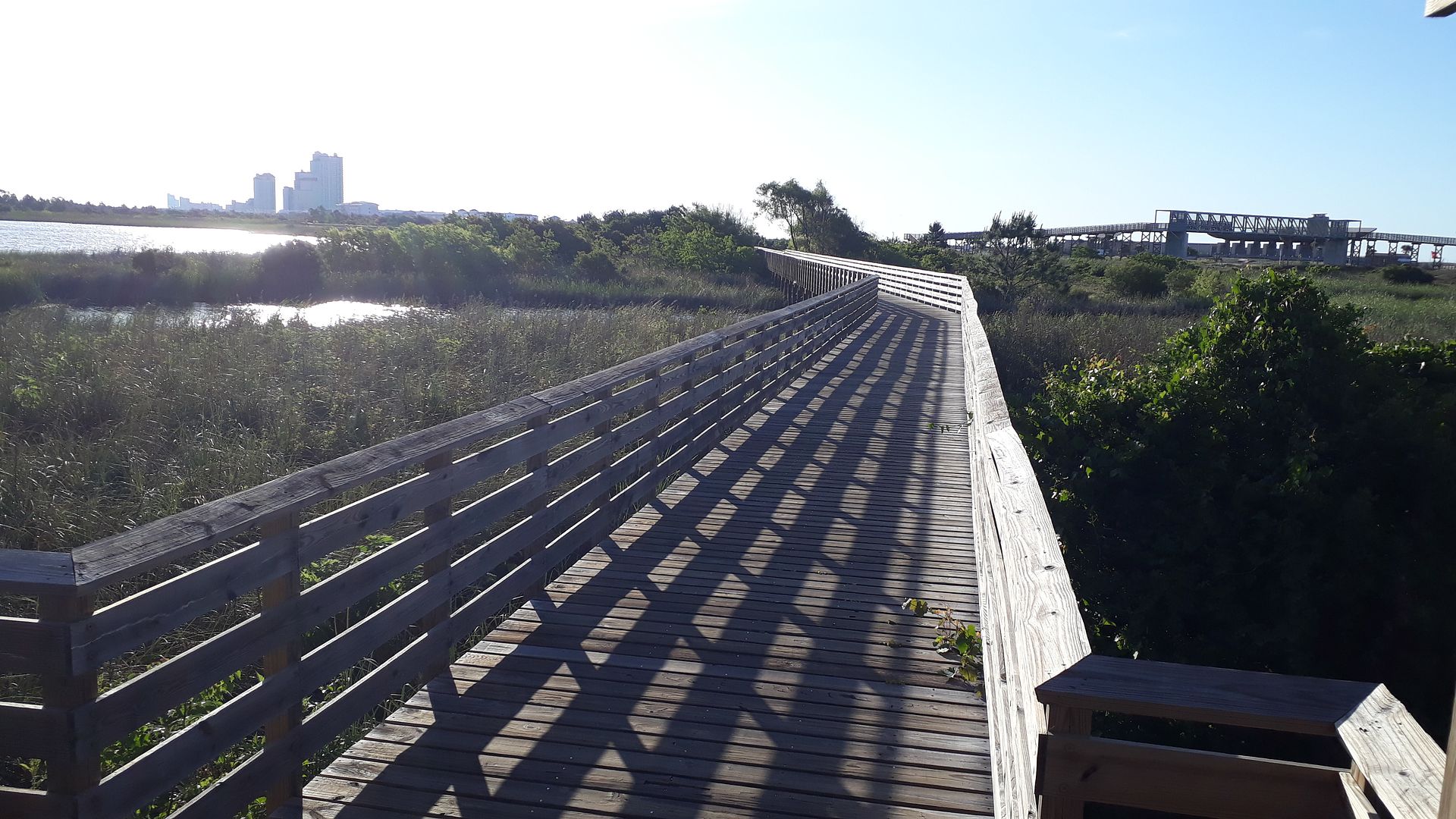
The first part of this walk was on a boardwalk over the marsh. We're headed toward the Pavilion behind the second crossover in the distance.
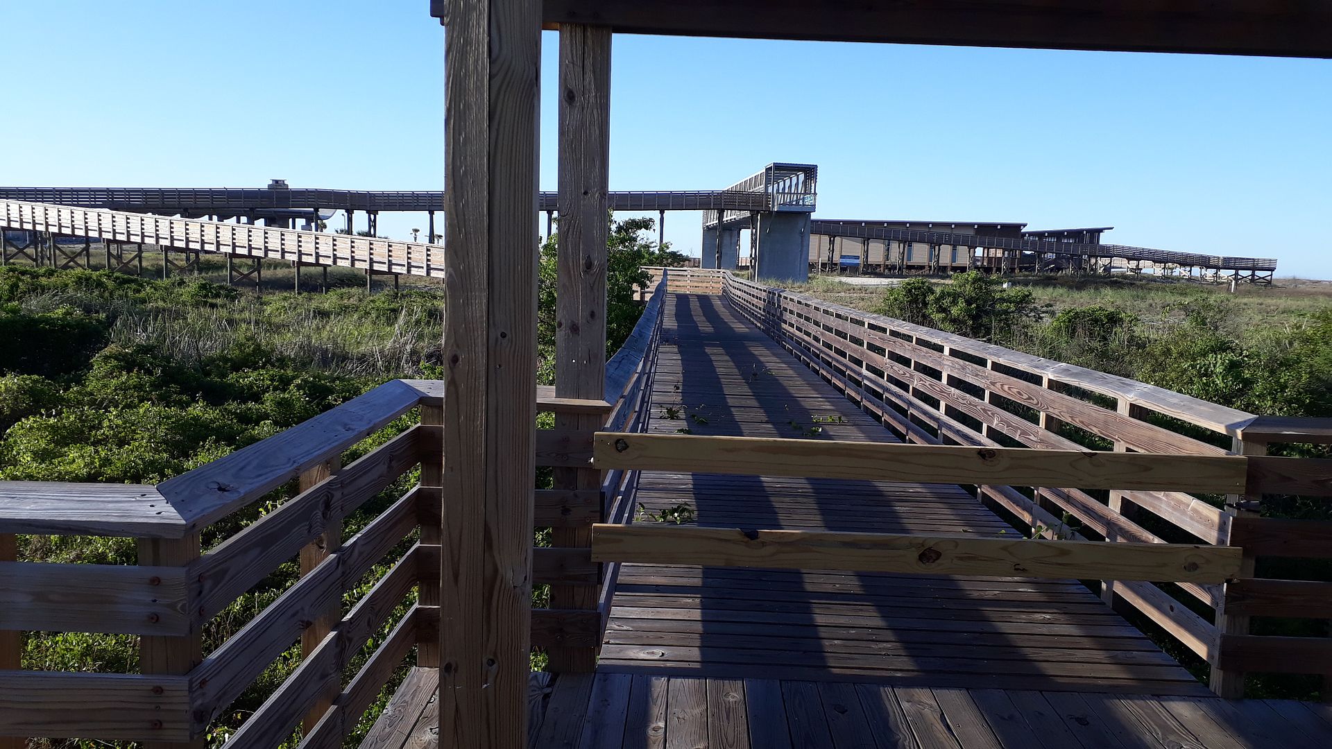
Here is the intersection with the crossover to the Pavilion. Since the beaches are closed and parking lot blocked, they've apparently also boarded off the crossover to prevent unapproved social mingling. I press on.
Here's a close-up of the back of the Pavilion. It's very nice to visit if that's what your looking for. During the season they have concessions, beach umbrella/chair rentals, life guards, bathrooms, picnic tables in the shade, and more.
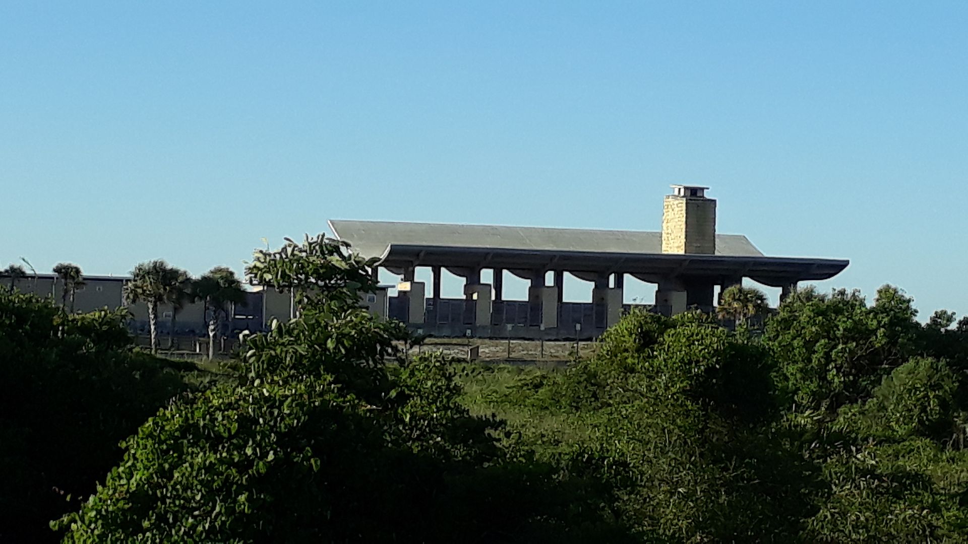
The Interpretive Center on the other side of the crossover is new and I haven't been in it yet. The Pavilion is also a popular location for beach weddings. Access is free for campers (Gulf started charging a daily resort fee of a few bucks - not optional - which covers "free" access for campers to the Pavilion, Pier, Pool, etc. Non-campers have to pay to access the Pavilion (when they park).
Here I look back across the cattails and Middle Lake towards the campground. My little Aliner is out there some where.
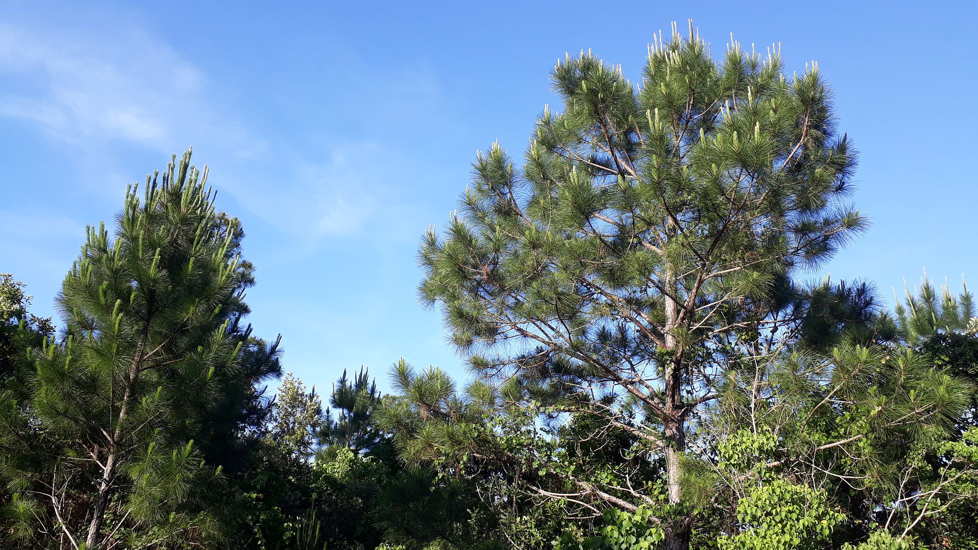
Next we leave the marsh area and enter a small coastal forest with a mix of scrub oaks and short pines.
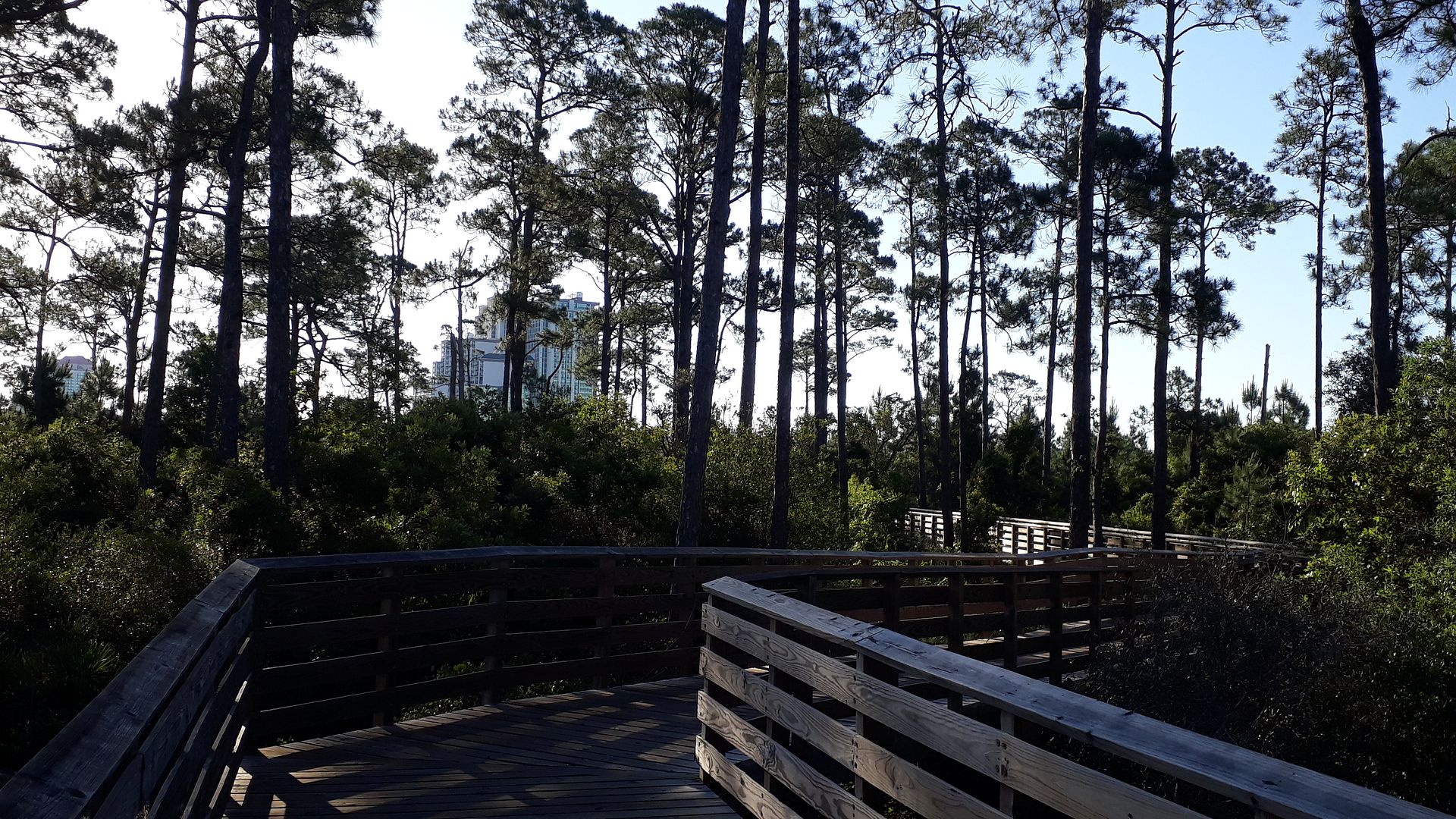
Next comes taller pines more sparsely spaced and we get perilously close to that huge condo building in Orange Beach. It's a massive thing that required an exception to the height limit of beach-side buildings (of course the exception was granted - more guests/floors mean more tax revenue for OB). Come to think of it, EVERY condo height exception request for new construction that I've read about these last many years has ALWAYS been granted by OB. And if that's the case, why bother to have a limit? That's just one of the many reasons why I feel the way I do about OB.
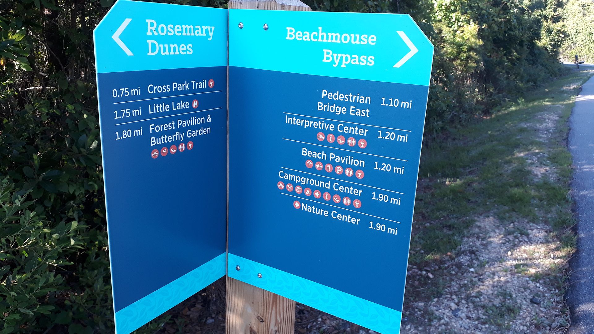
We've been on the boardwalk the whole way from the campground canal and we merge in with the Rosemary Dunes paved trail. I looked back to show the intersection. The left side goes to a parking lot/access location in OB on the beach highway.
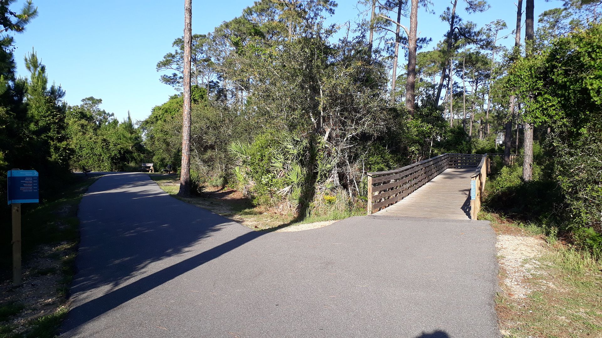
I will say that all trail intersection have signs like these that are well done to show distance and destinations in each direction.
I've reach my limit of 10 hosted photos in this post so let's roll onto the next one.
Bama Ed


 Maybe there's a box of sunshine at the ranger's cabin that he releases every morning like there's a leprechaun with a pot of gold at the end of a rainbow?


 :rolleyes:")


 But the steel walls and ceilings, noise reverberations (it's a WW2 battleship for goodness' sake - no MemoryFoam on board), etc. very little sleep was had by ANYBODY that night. Well BEFORE the hour before opening we were ready to leave and packed up. (unlock the doors and let us OUT of here!)